Location
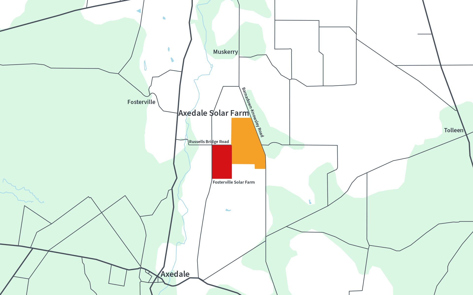
The project is located on Taungurung Country, approximately 25 km east of Bendigo and 65 km south of Echuca. The project is within the local government areas of the City of Greater Bendigo and the Shire of Campaspe.
The site covers approximately 370 hectares of private rural land currently used for cropping and grazing. The site will be leased from the landowners via a long-term lease agreement and reverted to pasture at the end of the project’s life.
Site Selection
FRV considers that this location is suitable for the project due to
Additional land for development is not currently being sought, as the project has been designed to match the available network capacity in this area

Excellent solar irradiation
Abundant sunlight and favourable weather conditions to produce reliable and affordable green energy

Low level of environmental impact
The site has been largely cleared and disturbed by previous land uses, meaning the project will minimise impacts on native flora and fauna

Avoiding the best Agricultural Land
The site avoids strategic agricultural land and is currently used for grazing, which is planned to continue during operation of the solar farm

Level terrain
The land is largely flat, reducing visual impacts and allowing for cost effective construction

Proximity to the National Grid
The adjacent transmission line has capacity to export renewable energy into the network, and avoids the need for new overhead transmission lines

Excellent Transport Links
The site is well connected to the State Road network